Rare Book
Friday, 20 March - Thursday, 9 April 2026
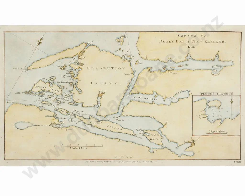
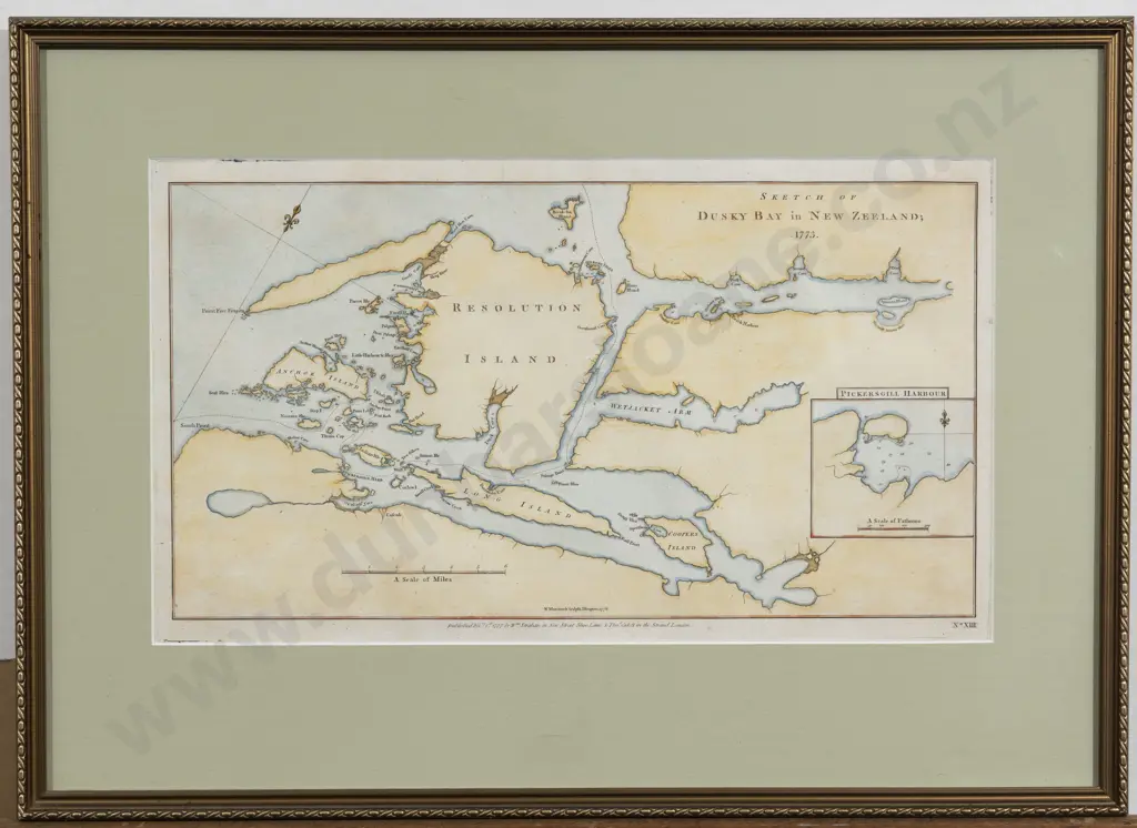
After William Whitchurch - A Sketch Of Dusky Bay in New Zealand 1773
Closed $90 (9 bids, reserve met)
This lot is now closed 9 Apr 2:36 pm (NZST)
Buyer premium and GST is additional to your bid.
All bids are subject to our buyer terms and conditions
Lot Details
hand coloured map, Plate No XIII from Cook's "A Voyage Towards The South Pole", published by William Strahan & Thomas Cadell, London, 1777. A very nice clean and crisp copy. 23 x 39cm
Other items you may like from this sale
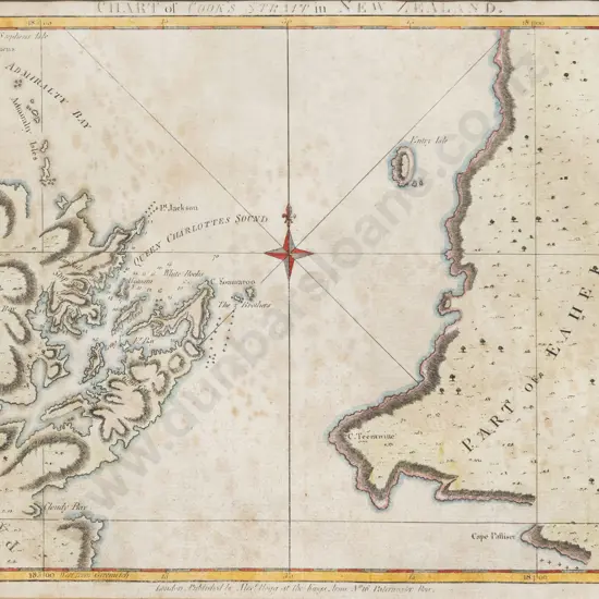
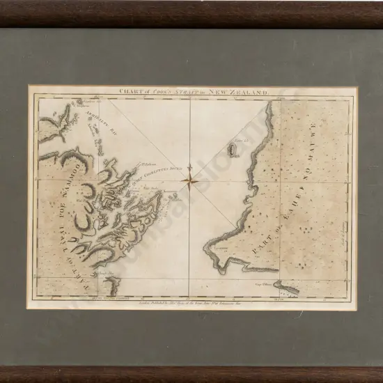
18th Century Map of Cook's Strait in New Zealand
Estimate: $100 - $200
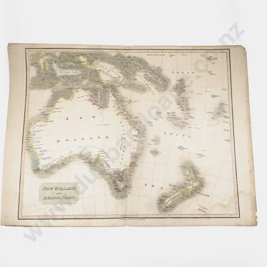
John Thomson - New Holland and Asiatic Isles 1814
Estimate: $140 - $280
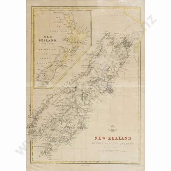
John Dower, New Zealand Middle & South Islands, Circa 1863
Estimate: $100 - $200
After W Deverell - Map Of New Zealand
Estimate: $260 - $400
18th Century Chart of Cook's Strait
Estimate: $200 - $400
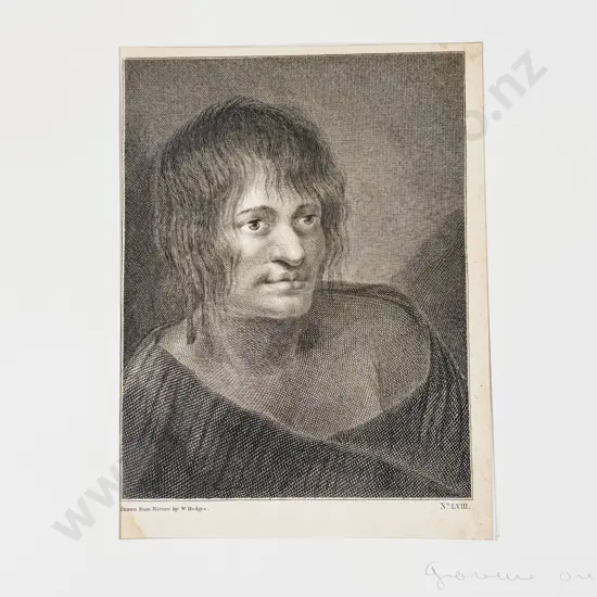
After William Hodges
Estimate: $50 - $100
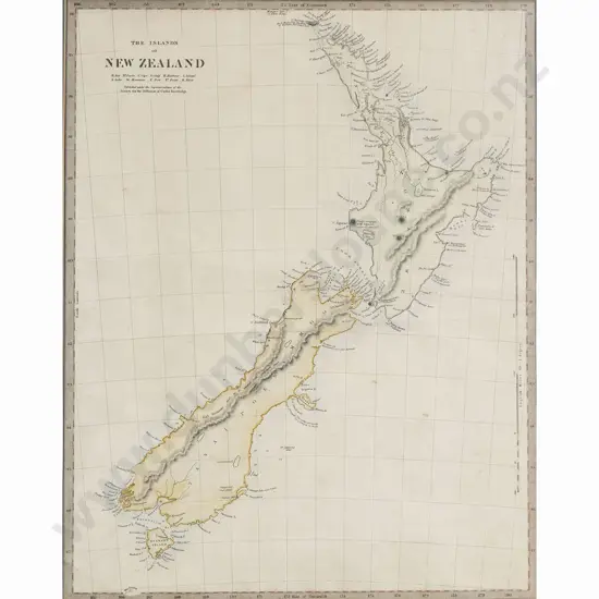
Edward Stanford (Pub) The Islands Of New Zealand
Estimate: $160 - $300
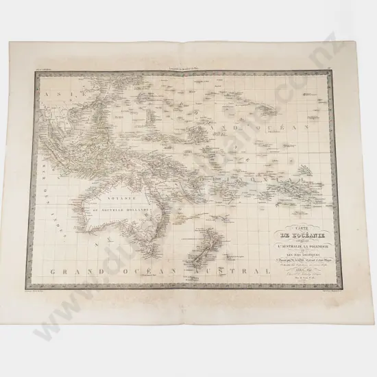
Pierre Tardieu - Carte De L'Oceanie contenant L'Australie La Polnesie et Les Asiatiques 1842
Estimate: $70 - $140
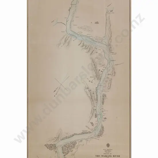
After Charles Heaphy - NZ Sketch of the Waikato River 1863 - Framed Vintage Map
Estimate: $260 - $375
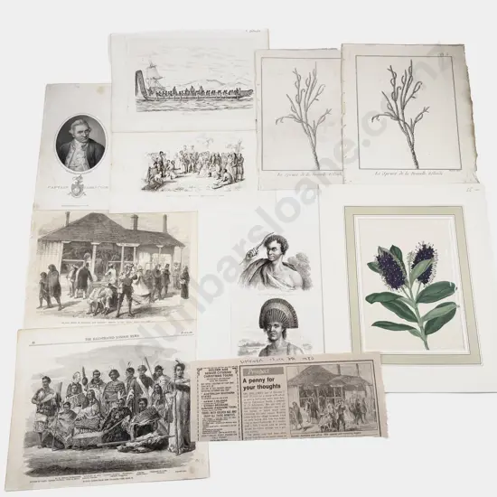
15 Various NZ Engravings - Illustrated London News Pages c1860s Etc
Estimate: $50 - $100
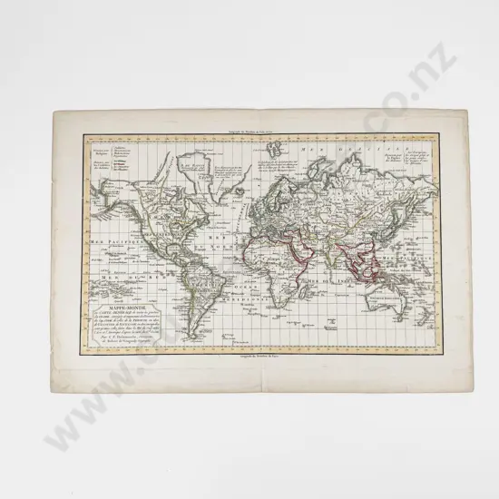
Charles Francois Delamarche - Mappe Monde 1802
Estimate: $100 - $200
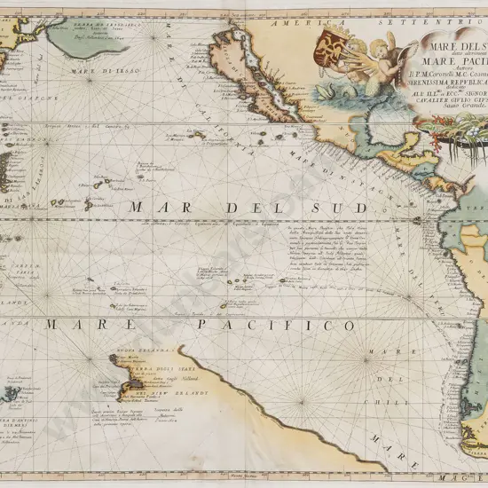
Vincenzo Coronelli (1650-1718) Mare Del Sud/Mare Pacifico
Estimate: $2,000 - $2,500
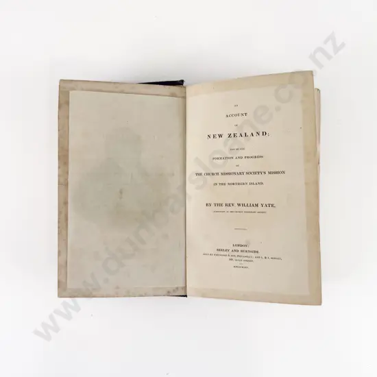
Yate Rev William - An Account of New Zealand 1835
Estimate: $100 - $200
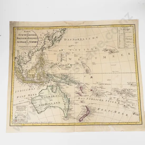
Gottlieb Canzler - Karte von Funften Eratheil oder Polynesien-Inselwelt oder Australien od Sudindien 1795
Estimate: $240 - $375
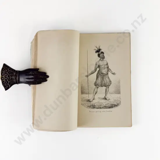
White John - Illustrations Prepared For White's Ancient History of The Maori
Estimate: $200 - $400
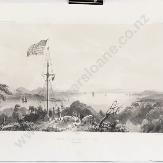
After Louis Le Breton, Entree De La Baie Des Iles (Nouvelle Zelande) c1840s
Estimate: $750 - $1,500
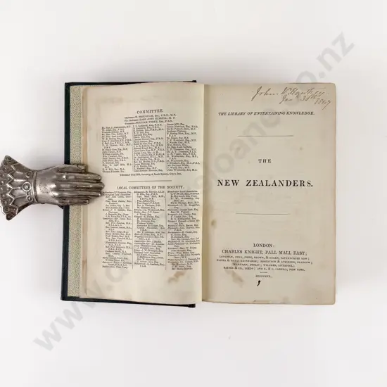
Craik George L - The New Zealanders
Estimate: $100 - $200
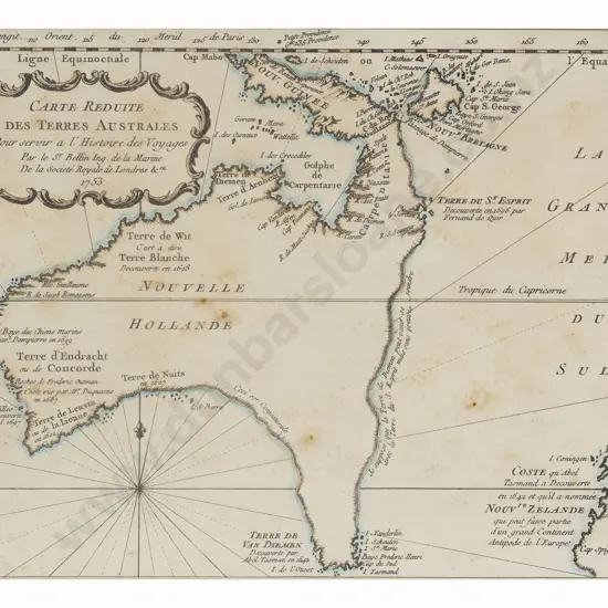
Jacques Nicolas Bellin - Carte Reduite Des Australes 1753
Estimate: $400 - $800
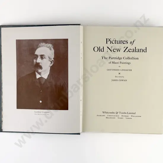
Cowan James - Pictures of Old New Zealand
Estimate: $140 - $260
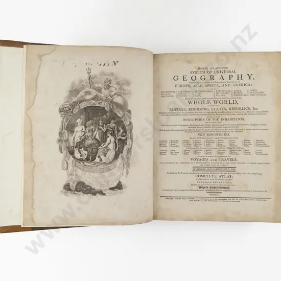
Cooke George Alexander - Modern And Authentic System Of Universal Geography (2 Vols)
Estimate: $750 - $1,200