Antiquarian Book
Monday, 11 - Wednesday, 27 September 2023
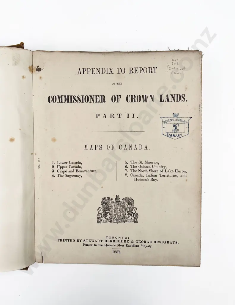
(-) Maps Of Canada 1857
Estimate $350 - $500
Realised: $270 plus premium
Lot Details
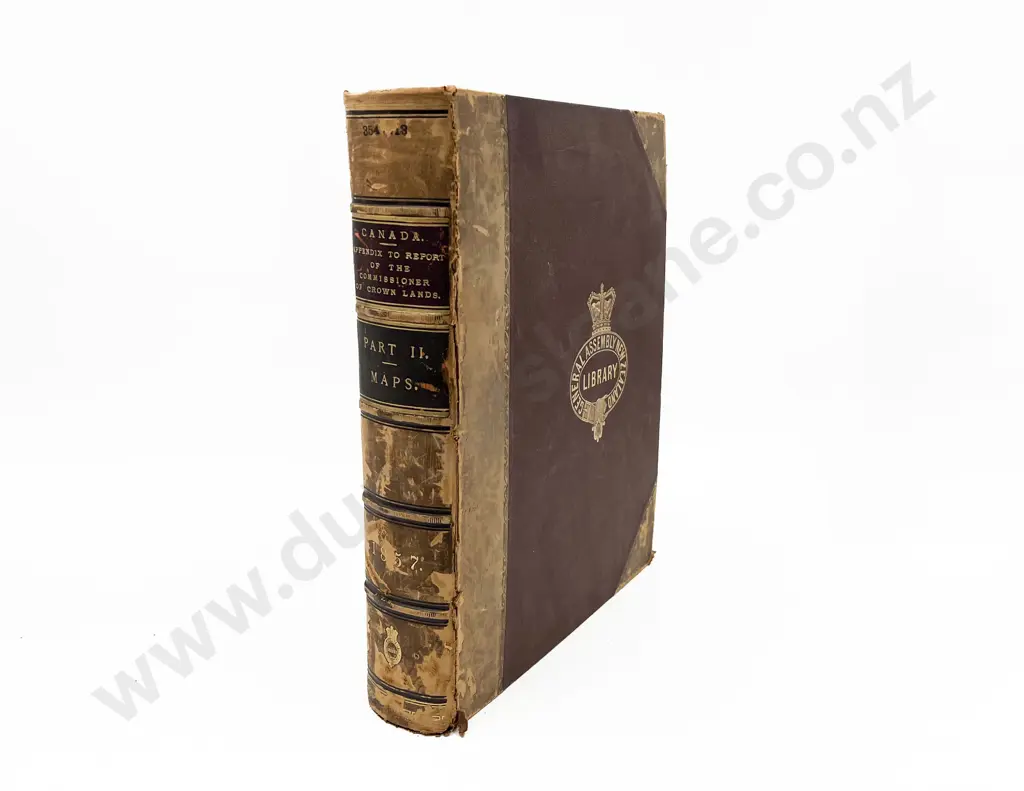
Appendix To Report of the Commissioner Of Crown Lands. Part II. 1. Lower Canada, 2. Upper Canada, 3. Gaspe and Bonaventure, 4. The Saguenay, 5. The St. Maurice, 6. The Ottawa Country, 7. The North Shore of Lake Huron, 8. Canada, Indian Territories, and Hudson's Bay. Printed by Stewart Derbishire & George Desbarats, Toronto, 1857, half tan calf, ex library. Scarce. The volume contains all eight large linen backed maps.