Antiquarian Books - Wellington
Tuesday, 31 January - Wednesday, 15 February 2023
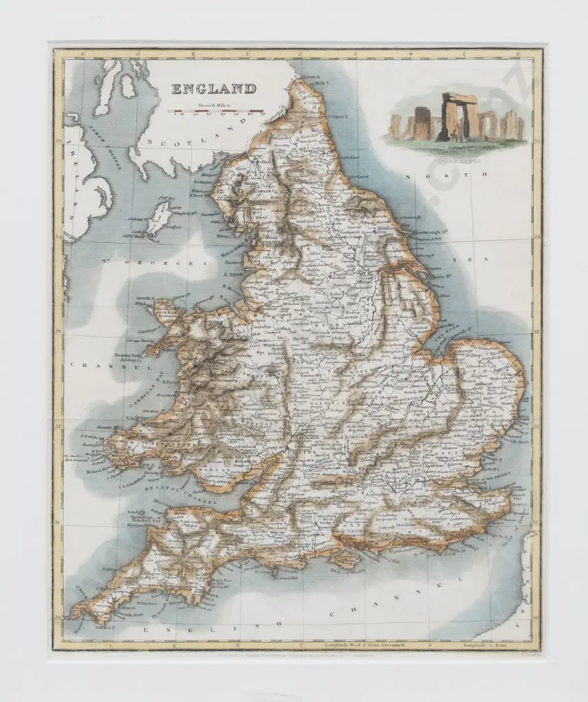
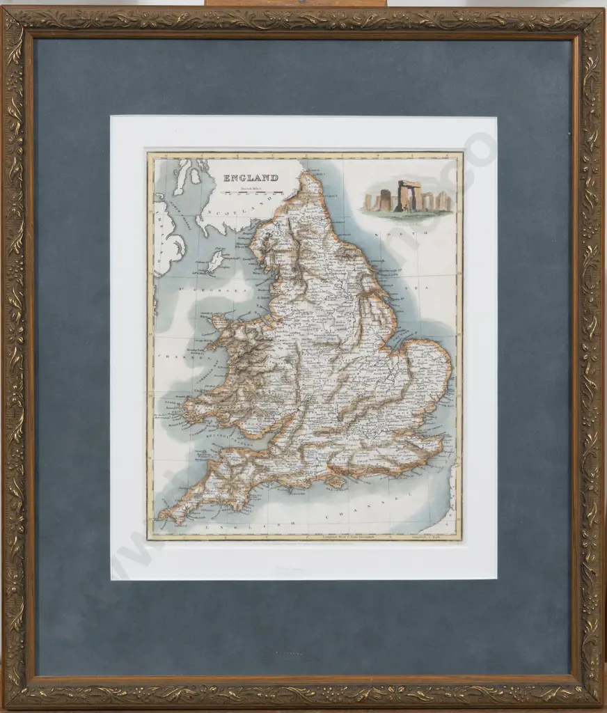
19th Century Map Of England
Estimate $60 - $120
Lot Details
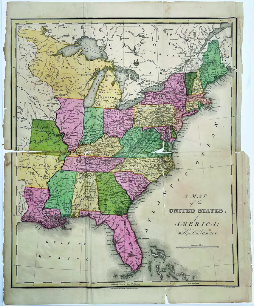
hand coloured copper engraving with vignette of Stonehenge to upper right corner, published by Blackie Fullarton & Co, 25cm x 20, framed, together with A Map of the United States of America (East Coast) by H S Tanner, from William Darby's "Universal Gazetteer, 1825, poor condition